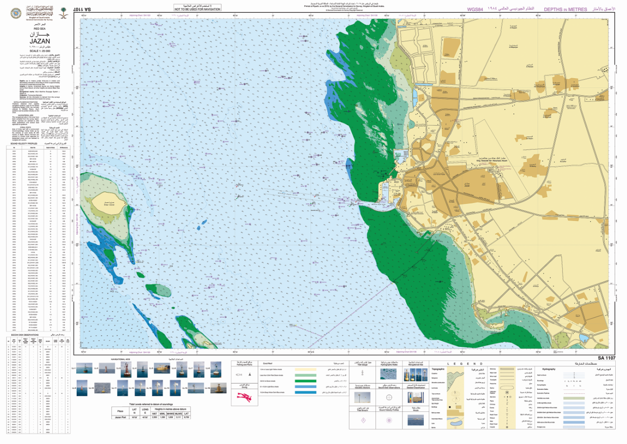
Paper Nautical Charts (PNC):
PNC produced in accordance with the issuance of standards Number 4 issued by the International Hydrographic Organization (IHO).

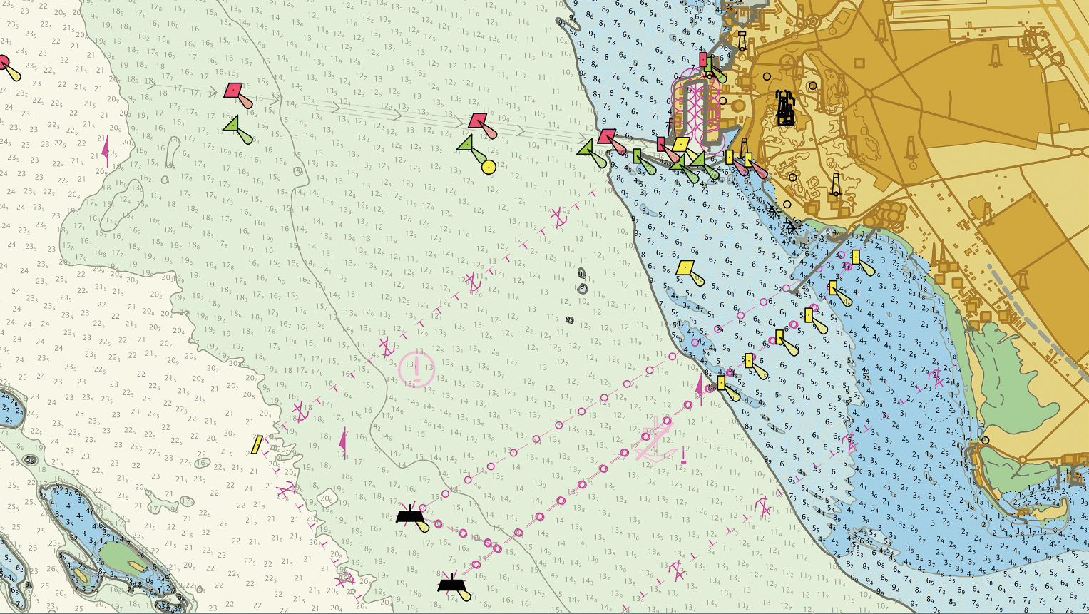
Electronic Navigational Charts (ENC):
ENC produced in accordance with the issuance of standards number 57 issued by IHO.

Coastal Zone Management Charts (CZMC):
Non-navigational Hydrographic Charts produced in accordance with the issuance of standards Number 4 issued by IHO and the standards of the GCS for CZMC.
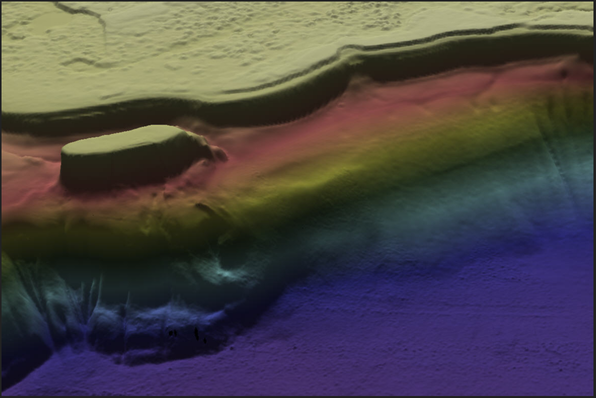
 Bathymetric:
 High definition depth data collected using the LiDAR and Echo sounding according to the (IHO) standards.
Demersal samples:
Geological samples of the seabed were collected using (Grab samle) and geologically classified to calibrate the Echo sounding waves classification data from the seabed.
The tidal:
Water level rise and fall data (the tidal) on the coast and sea entry were collected using temporary Tide Gauge Network during project time.

Water level data:
The different water levels data (upper water line, average water level, lower water line) are assigned to the Hydrographic Charts data (CD) which is the lowest astronomical level (LAT)
Marine currents data (Tidal currents):
Data on the velocity and direction of marine currents and tides were collected by a Doppler apparatus for measuring marine currents during project Time.
Navigational barriers data:
XYZ data with its metadata for features that affect navigation safety such as shipwrecks.
